Earth Science Outside y 2018-2019 – Via SLDistrict
Homework 2 – Due October 15, 2018
Tectonics Rules!
Goal
See patterns (evidence), for yourself, outside: extensional tectonics sets the BIG pattern of basin, range, basin, range of the Basin and Range
Understand that the Wasatch Fault Zone is a world-class fault zone due to e x t e n s i o n a l forces. It is the easternmost fault of the Basin and Range.

Steps:
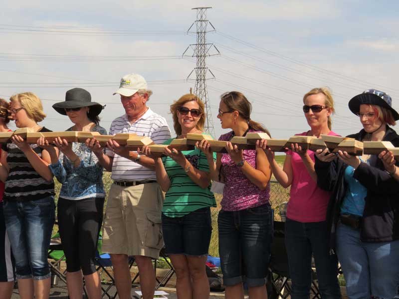
Step 1. Take your wooden blocks from Session 2 with you and go to G.K. Gilbert Geologic View Park — 9788 Wasatch Blvd, Sandy, UT 84092. There’s parking. Any time of day works well, but mornings will highlight the evidence of faulting. Consider going with a colleague… but hopefully that person won’t just “tell you” what’s going on.
Step 2. Walk into the park. Stop. Breathe! Relax. Just look around with mindful curiosity. Soon you’ll read the “answers” how this landscape came to be. But… for perhaps 2 minutes… that’s only 120 seconds… notice patterns… and be deliberately curious. This is probably the second-most-photographed-by-geologists place in Utah, the first being Delicate Arch. What patterns do you see? Have you seen anything like what you see here? Wonder about your personal curiosity here. Do you know enough to be curious?
Step 3. Read the signs.
Step 4. Embrace uncertainty. Great scientists prefer great questions to great answers. Evidence of several processes makes this place special. ALL landforms result from (a) tectonics altered by (b) erosion / deposition. In this one locale Lake Bonneville left evidence of coastal processes, glaciers left moraines, streams have cut canyons… AND… extensional tectonics has left evidence of how the Wasatch Range and Salt Lake Valley came to be. Please, don’t be hard on yourself. If you don’t see it all at once, I didn’t either the first time I was here. Even after being here a few dozen times, I’ll see another clue how this scene came to be.
Step 5. Focus on patterns. By now you realize that some patterns matter more than others for your students’ eventual understanding of Earth processes. Your mission here is to recognize similarities of patterns of what you see here at G.K. Gilbert Park with what can be seen at Faultline Park (Session 2 of Earth Science Outside). The key is your wooden blocks.
Step 6. At first work with just two of your three wooden blocks: the “mountain block” and the “valley block.” Think how these blocks model the reality in front of you. Why do scientists and engineers use models? Do the blocks work for you as a model of extensional faulting here?
SUBMIT by October 15, via email to genevieveatwood@comcast.net with at least two images and one document attached.
- At least two images. One a selfie of you “in the mouth of the canyon.” Another is your choice but the idea is to have at least one good image of the faulting story. It can be of the moraine and its several faults, or the signage, or your blocks, or whatever will your memory of this world-class expression of a world-class fault.
- An attachment, preferably a .doc document or pdf. I need to be able to print it. Here’s its minimum contents:
- Title: Homework 2 for Earth Science Outside… by… your name.
- Then share your thoughts about your confidence and competence to (hypothetically) bring students here, have them see patterns, activate their curiosity, and focus it toward tectonics. You don’t have to use the blocks in your discussions. Could you interest them to be curious about this place and follow up with research, for example, information from the Utah Geological Survey. Indeed I am fishing… but I need to know more about your confidence and your competence to turn students toward science.
Expect feedback during Session 3 – our field day, October 22, 2017.